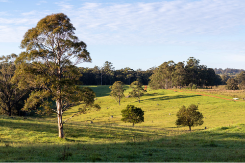
Travelling along Undercliffe Road you will come to Wallaroo Range Turn off
Head Over The Grid
Turn off onto Wallaroo Range road and continue straight ahead
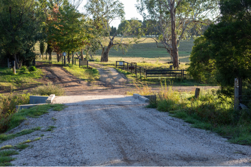
Turn Right After The Causeway
As you travel along Wallaroo Range road you will come to a causeway, turn right after you have crossed it.
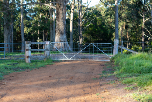
Stonepine Ridge Gate
From the causeway, heading up the road you will come to the Stonepine Ridge Gate, Open it and head through – Please remember to shut the gate after you have passed through. Keep following the road up past the Red barn keeping to your right.
Stonepine Ridge Camping Gate Access
You will arrive at two gates – The gate on the right is access to the camping grounds (once again please shut the gate after you have passed through).
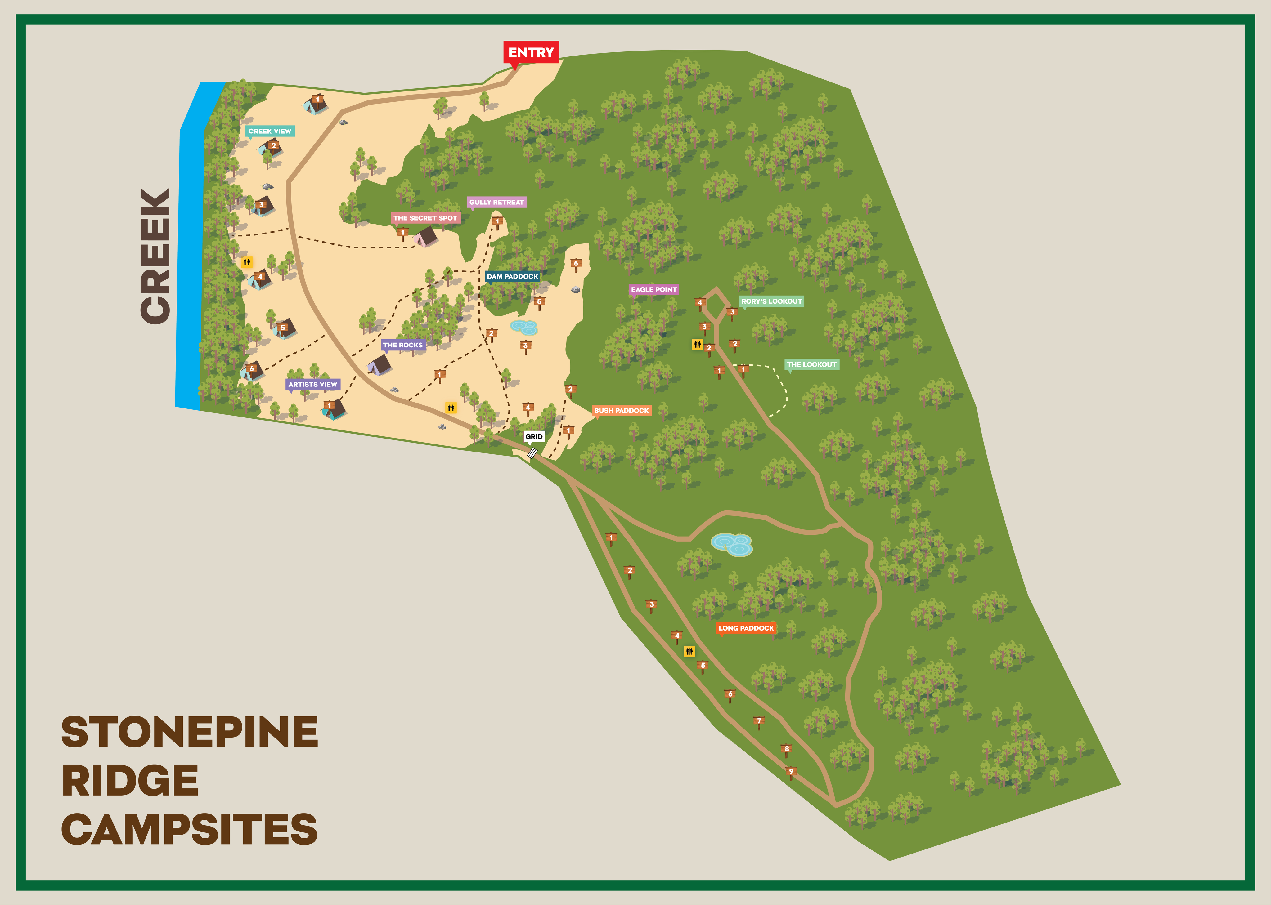
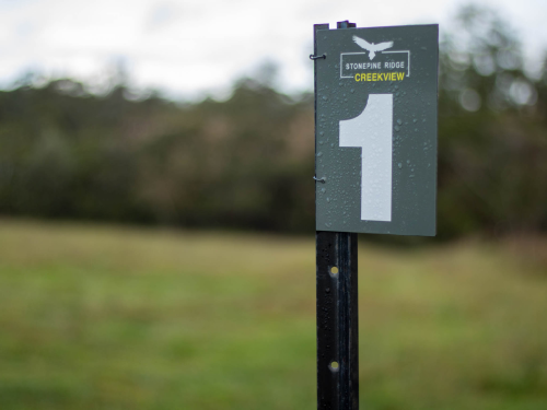
Look For The Signs
Camping signs are placed all around to help you find your way.
Wind Your Way Around - You Are Getting Closer...
Keep following the road around and the signs.
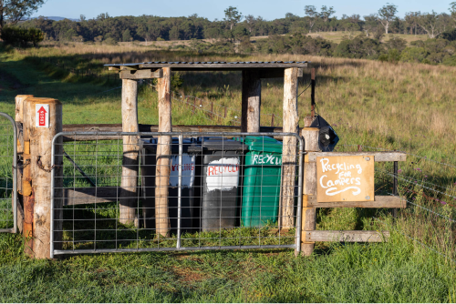
The Bin Hut
As you head to the camping grounds you will pass our designated bin area for your convenience on departure – please remember to clean up your site and dispose of all rubbish.
You Have Made It To Stonepine Ridge Camping
You will cross through a gateway that will have signage to the camping grounds.
Well done you’ve made it! Now to find your site.
Camping Site Signs
As you enter the camping site section of Stonepine Ridge, each site allocation will be named & numbered, Please find and make sure you are in your designated site location.
In case you miss it the Camp Site Location Map is available at the top of this page